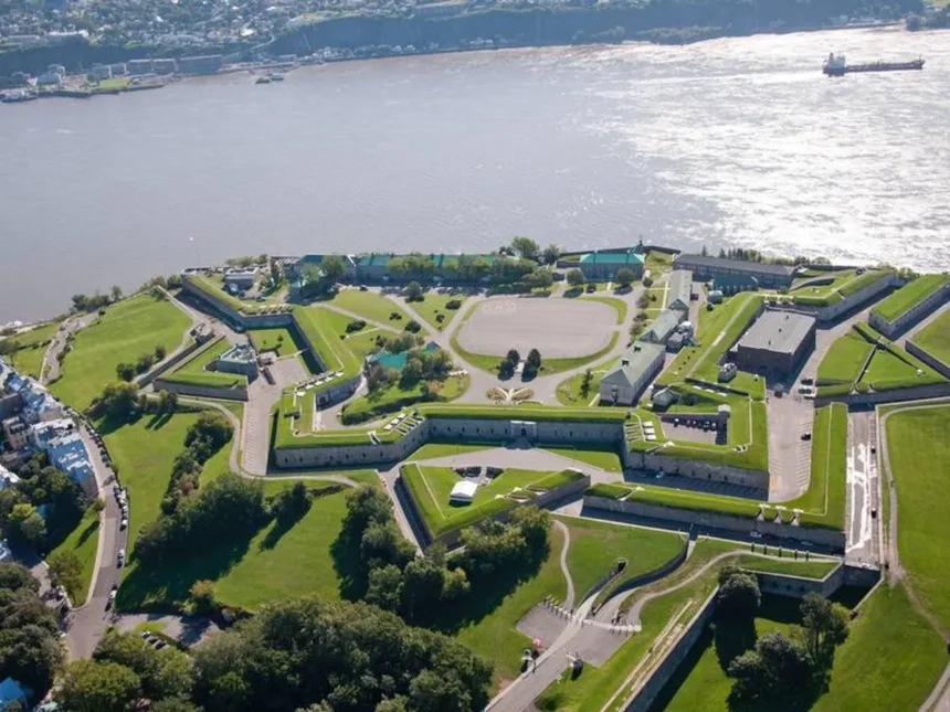
Cap Diamant ( the rocky promontory rising 98 metres above the St. Lawrence at the point where the cliff descends most dramatically to the Lower Town ) is the single most important geographical feature in Quebec City’s history and the physical basis for virtually everything that makes the city distinctive. The cliff face of Cap Diamant, visible from the St. Lawrence for many kilometres in either direction, was what made the site militarily critical (a fortified position on the cap controlled the river passage), economically strategic (the narrowing at the cliff’s base was the first point upstream where river crossing was practical for large vessels), and visually extraordinary (the combination of the cliff, the Château Frontenac perched at its edge, and the Lower Town buildings compressed between the cliff face and the river creates a vertical urban composition unique in North America).
The Cap-Blanc Neighbourhood
Cap-Blanc ( the narrow strip of land between the base of the Cap Diamant cliff and the St. Lawrence River, now part of the Vieux-Québec–Cap-Blanc–Colline Parlementaire quartier ) is one of Quebec City’s most dramatic urban spaces: a neighbourhood compressed between a 60-metre cliff face above and the river below, with the Boulevard Champlain (Route 136) and the rail corridor running along its narrow base. The neighbourhood’s physical constraints ( no room to expand in any direction ) have preserved its character as a transitional zone between the Lower Town’s commercial heritage and the river’s industrial and recreational infrastructure. The Escalier Champlain (one of the many stairways connecting the Upper and Lower Towns) descends through the Cap-Blanc neighbourhood.
The Promenade des Gouverneurs
The Promenade des Gouverneurs ( a clifftop walkway running along the sheer face of Cap Diamant between the Dufferin Terrace and the Citadelle‘s main entrance ) provides the most dramatic pedestrian experience of the cliff’s vertical scale. The walkway, cantilevered over the cliff face at points, offers views straight down to the Lower Town and the St. Lawrence River that make the 53-metre height difference viscerally apparent. The Promenade was built in the 19th century as part of the fortification’s defensive infrastructure; its conversion to a public promenade is one of the happiest examples of military heritage repurposed for civilian enjoyment. Walking the Promenade des Gouverneurs at dawn or in low winter light, with the river below and the ramparts above, is one of the finest pedestrian experiences in any Canadian city.
The Diamond & the Funicular
The name “Diamant” (Diamond) refers not to a precious stone but to the rock crystal (quartz) fragments that Cartier’s men found on the cap’s surface in 1541, which they mistook for diamonds ( an early example of the hopeful misidentification of North American minerals that characterised several early colonial expeditions. The Funiculaire du Vieux-Québec ) the funicular railway connecting the Dufferin Terrace to the Rue du Petit-Champlain in the Lower Town has operated since 1879, making the vertical connection between the Upper and Lower Towns mechanically accessible for fare-paying passengers. The current funicular (rebuilt 1998 after a fatal accident with the previous structure) carries approximately one million passengers annually and remains the most efficient and dramatically positioned vertical transport link in the city.