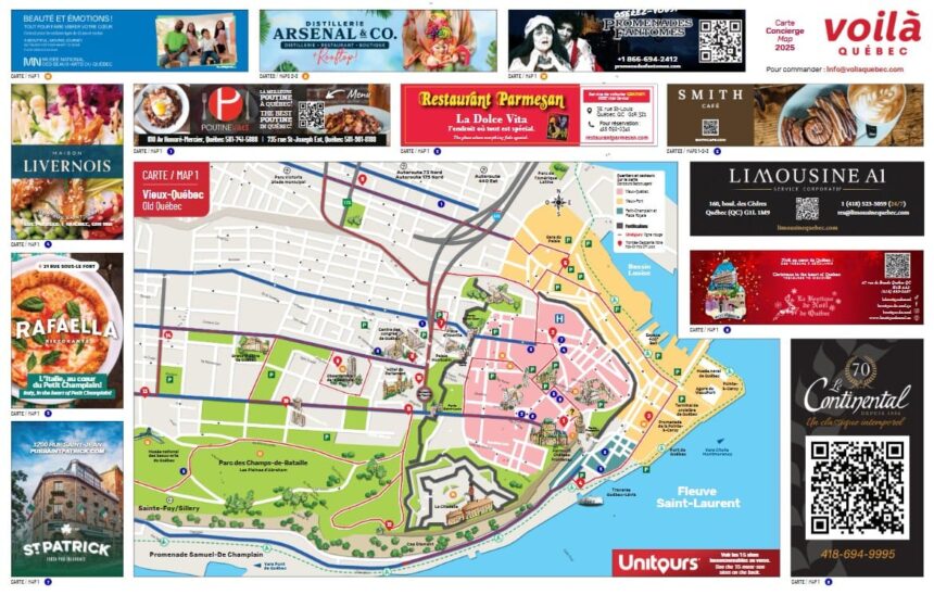
Quebec City is one of the most mapped cities in North American history a consequence of its military strategic importance (fortified cities require accurate maps for both attack and defence), its role as the administrative capital of New France (which generated extensive documentary records), and the interest of successive colonial powers in understanding and controlling the territory. The cartographic record of Quebec City from Champlain’s earliest sketches (1603) through the British military surveys of the 18th and 19th centuries to the modern cadastral maps maintained by the Ville de Québec constitutes a documentary archive of the city’s physical development across 400 years.
Champlain’s Maps (1603-1632)
Samuel de Champlain was among the finest cartographers of his era ( his maps of the St. Lawrence valley and the northeastern North American coastline, produced from his multiple voyages between 1603 and 1632, were the most accurate European representations of the region available for decades after his death. His 1608 sketch of the Habitation de Québec ) reproduced in his Voyages and showing the building’s layout, the cliff above, and the river below is the earliest accurate representation of any building in Quebec City and a primary document for understanding the physical character of the founding settlement. Champlain’s 1612 and 1632 maps of New France established the cartographic framework within which all subsequent mapping of the region occurred.
British Military Surveys (18th-19th Century)
The British military’s interest in accurately mapping the Quebec City fortifications ( for both defensive planning and engineering purposes ) produced an extraordinary series of detailed surveys through the 18th and 19th centuries. The Royal Engineers’ maps of the walls, bastions, gates, and the Citadelle‘s construction plans are among the most technically precise heritage documents in the city’s archive. These maps ( housed in Library and Archives Canada in Ottawa, the Library and Archives Canada provincial office in Quebec City, and the Archives nationales du Québec at the BAnQ ) record the fortifications’ evolution from the French regime’s original construction through the British post-Conquest rebuilding and expansion program that culminated in the Citadelle’s completion in 1850.
Where to See Historical Maps Today
Historical maps of Quebec City are accessible at several institutions: the Bibliothèque et Archives nationales du Québec (BAnQ) at the Grande Bibliothèque in Montreal and at the BAnQ-Capitale-Nationale facility in Quebec City (1210 avenue du Séminaire) maintains the most comprehensive provincial map collection; Library and Archives Canada holds federal government and military maps; the Musée de la Civilisation’s collections include maps from the colonial period; and several online digitisation projects (including the BAnQ’s portal collections.banq.qc.ca) have made hundreds of historical Quebec City maps accessible without requiring an in-person archive visit. The Cartes et plans section of the BAnQ digital portal is the most complete publicly accessible collection of Quebec City’s cartographic heritage.