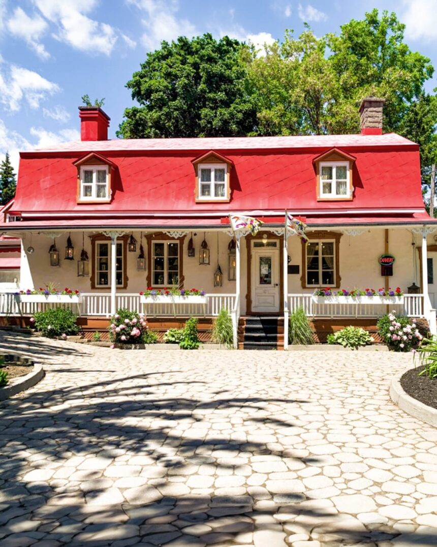
The Trait-Carré de Charlesbourg ( the historic village core of the Charlesbourg arrondissement, located approximately 8 kilometres north of the Quebec City Old City ) is one of the most remarkable urban planning artifacts in North America: a 17th-century village planned on a radial pattern (radiating lots extending outward from a central square, rather than the more common rectangular strip-lot pattern of the seigneurial system) that preserves its original planning geometry in the current street pattern and lot boundaries. The plan, attributed to Talon’s intendant period (the 1660s-1670s) and specifically to the influence of Bishop Laval’s educational institutions in the region, was an attempt to create a more defensible and communally organized settlement than the isolated farmstead pattern of the river-lot seigneurial system.
The Radial Plan
The Charlesbourg radial plan ( one of only three such plans implemented in New France (the others at Bourg-Royal and Petite-Auvergne in the same region) ) assigned each settler a pie-shaped lot with its narrow end at the central square and its wide end at the periphery. The plan’s defensive logic: in case of attack, the settlers could retreat rapidly to the central square without traversing other settlers’ lots, and the community could defend the central position more effectively than isolated farmsteads scattered along a river shoreline. The plan’s agricultural logic: each lot provided its settler with access to both the central village’s communal resources and the peripheral agricultural land of the lot’s wider outer section. In practice, the radial plan proved administratively complex (the lot divisions were geometrically challenging to survey and legally complex to subdivide), and only the three initial implementations were attempted before the seigneurial administration returned to the conventional strip-lot pattern for subsequent developments.
The Trait-Carré Today
The contemporary Trait-Carré heritage district ( a national historic site of Canada, recognising the extraordinary planning heritage preserved in the street pattern and the concentration of 18th and 19th-century heritage buildings that have survived on the original radial lot footprints ) is accessible as a heritage walking circuit from the central Place Charlesbourg (the original central square, now a public park with the heritage church and several classified heritage buildings surrounding it). The circuit includes: the Église Saint-Charles-Borromée (the 1827 church on the original Place Charlesbourg site, one of the most significant rural churches in the Quebec City region), the Maison Pierre-Lefebvre (a classified heritage farmhouse on the original lot footprint), and the dozens of heritage properties along the radial streets that preserve the 17th-century planning geometry in their lot boundaries.
Getting There
The Trait-Carré de Charlesbourg is accessible from Quebec City’s Old City by car (Boulevard Henri-Bourassa northward, approximately 20 minutes), by RTC Métrobus (Route 803 to the Charlesbourg terminus, with the Trait-Carré heritage district within walking distance), and by cycling (the Charlesbourg cycling network connects to the inner-city system via the Saint-Charles linear park). The Place Charlesbourg is the recommended starting point for a self-guided heritage walk; the interpretation panels at the Maison Pierre-Lefebvre (operated as a heritage centre by the Société d’histoire de Charlesbourg) provide the most complete documentary context for understanding the radial plan’s history and significance. The walk takes approximately 90 minutes for the full circuit; shorter versions focused on the Place Charlesbourg core and the immediately adjacent heritage buildings can be completed in 30-45 minutes.