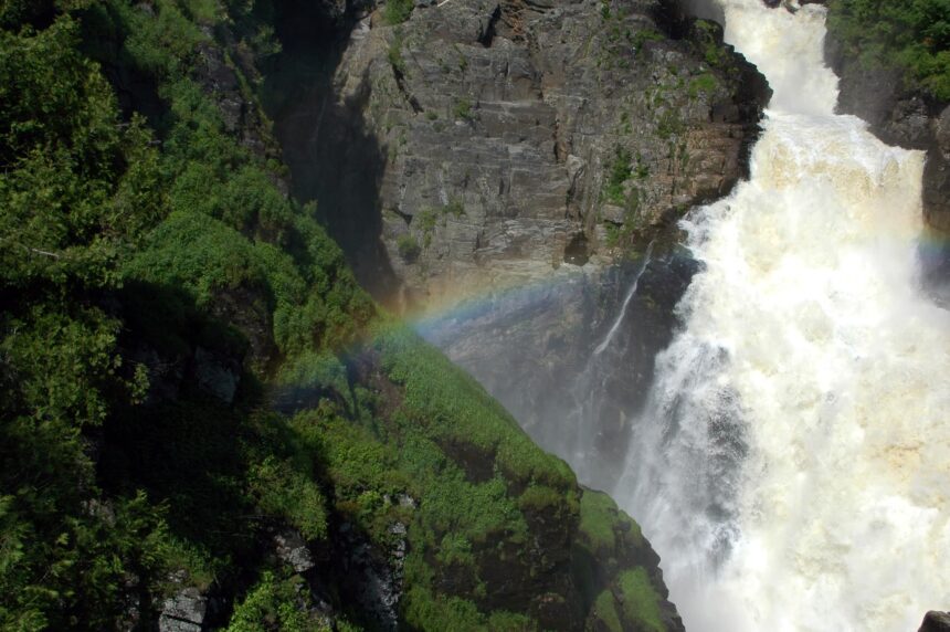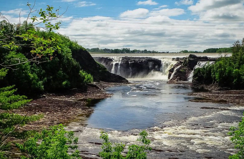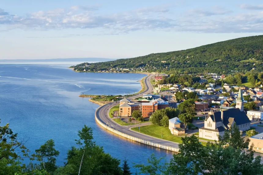
Charlevoix is one of the few places in North America where visitors can walk on the floor of a 400-million-year-old meteorite crater. The impact happened in the late Devonian, carved a crater fifty-four kilometres across, and shaped the landscape that tourists now visit for its mountains, valleys, and Saint-Laurent shoreline. The Charlevoix region was recognised as a UNESCO Global Geopark in 2014, one of only two such designations in Canada.
What the geopark is
A UNESCO Global Geopark is not a park in the conventional sense. It is a designated region where geological heritage is interpreted through a network of sites, trails, and visitor centres. Charlevoix’s geopark covers approximately 6,000 square kilometres, from Petite-Rivière-Saint-François in the west to La Malbaie in the east. The territory includes three MRC municipalities and hundreds of villages, farms, and private lands.
The geopark’s coordinating organisation, based in Baie-Saint-Paul, publishes interpretive materials, organises guided walks, and supports partner businesses that contribute to the designation’s educational mission. The designation is reviewed every four years by UNESCO, and Charlevoix has retained it consecutively since 2014.
The impact crater itself
The meteorite that created the Charlevoix structure is estimated to have been two kilometres across. The impact generated a transient crater roughly fifteen kilometres deep and fifty-four kilometres in diameter. Over the subsequent hundreds of millions of years, erosion stripped away most of the surface features, but the underlying structure remains visible in the arc of mountains that runs along the crater’s former rim. The central uplift of the crater, Mount-des-Éboulements, still rises nearly 800 metres above the surrounding landscape.
For visitors with a trained eye, the circular pattern of the Charlevoix landscape is clear from any high vantage point. The roads that follow the crater’s inner ring, including sections of Route 362 and Route 381, trace the transition between the central uplift and the annular basin.
Interpretation sites
The most accessible interpretation centre is the Observatoire de l’Astroblème, located near Les Éboulements, which covers the impact event in detail with an outdoor interpretive trail, a short film, and a set of exhibits on meteorite geology more broadly. The Centre d’interprétation de la côte-de-Beaupré, though technically outside the geopark, provides useful geological context for visitors driving in from Québec City.
Several shorter geosites are scattered across the region and marked on the geopark’s map: exposed breccia outcrops where shocked rock from the impact is visible, glacial striations on polished bedrock, and the Saint-Laurent shoreline cliffs that expose the older pre-impact geological sequence. Most of these sites require a short walk from a parking area and are free to access.
Walking and hiking
The Sentier des Caps de Charlevoix is a multi-day hiking trail that runs along the north shore of the Saint-Laurent from Petite-Rivière-Saint-François to Cap Tourmente. The trail offers close-up views of the basalt cliffs and the erosional features along the river’s edge. It is not a casual stroll: the full traverse takes three to four days, with huts and campsites along the way. Day hikes from several access points are possible and well-marked.
The Parc national des Grands-Jardins, a provincial park within the geopark, offers shorter trails that showcase the subarctic-style tundra landscape that exists unusually far south in Québec because of the region’s microclimate and soil conditions. It is one of the geopark’s stranger ecological features.
How to visit from Quebec City
Baie-Saint-Paul is the usual base for a geopark visit. It is 95 kilometres east of Québec City via Route 138, about 90 minutes by car. The town has a strong small-hotel and bed-and-breakfast inventory and makes a comfortable two-night stay. La Malbaie, further east, is the alternative base for visitors who want access to the eastern geosites and to the Manoir Richelieu.
A weekend itinerary that works: drive east on day one, explore Baie-Saint-Paul galleries and the town itself, and hike or drive the crater-rim road on day two. A three-day version adds a day hike in the Parc national des Grands-Jardins. A week allows for a fuller traverse of the Sentier des Caps.
When to go
May through October is the practical window for most visitors. Winter access is limited to paved roads and to the ski resorts at Le Massif and Mont-Grands-Fonds. Early autumn, roughly the second and third weeks of September, offers some of the most visually rewarding driving and hiking conditions, with foliage colours that are worth the trip on their own.