The Chemin Saint-Louis ( the historic road running west from the Porte Saint-Louis through the Montcalm quartier and continuing into the Sainte-Foy territory ) is one of Quebec City’s oldest continuously used thoroughfares: a route that has served as the primary road connection between the fortified Old City and the agricultural interior of the western plateau since the earliest decades of the French colonial period. The road’s current alignment follows the same basic trajectory as the colonial track that carried the habitants of Sainte-Foy, Sillery, and Cap-Rouge to the city market, the habitants of the Île d’Orléans across the ferry and up from the Lower Town, and the military forces of both New France and British Quebec between the city’s defences and the agricultural hinterland that supplied them.
The Historical Significance
The Chemin Saint-Louis’s most historically significant moment came in the autumn of 1759: it was along this road that General Wolfe’s forces approached the Anse au Foulon cliff access from the west, and it was along this road that the French forces retreated from the Plains of Abraham defeat back into the city’s walls. The road’s alignment ( running along the plateau’s ridge between the Saint-Charles River valley to the north and the St. Lawrence cliff to the south ) made it the natural approach route for any force operating on the plateau west of the Old City. The subsequent Battle of Sainte-Foy (1760), fought on the plateau that the Chemin Saint-Louis crosses, used the road as the primary French approach route from Sainte-Foy toward the British-held city.
The Contemporary Street
The contemporary Chemin Saint-Louis ( running from the Porte Saint-Louis westward through the Montcalm neighbourhood, past the Battlefields Park’s western edge, and continuing into the Sainte-Foy commercial zone where it becomes one of the primary approaches to the Université Laval campus and the Boulevard Laurier malls ) is primarily an arterial road serving residential and commercial traffic rather than a heritage experience. The street’s character changes significantly along its length: the section immediately outside the Porte Saint-Louis (through the Montcalm neighbourhood’s residential streets) preserves the most heritage character, with the Victorian and Edwardian houses of the Montcalm bourgeoisie lining both sides of a tree-canopied street of genuine quality. The transition from the Montcalm residential section to the Sainte-Foy commercial approach (after the Autoroute 73 overpass) marks one of the most dramatic character changes on any street in Quebec City.
Heritage Markers Along the Route
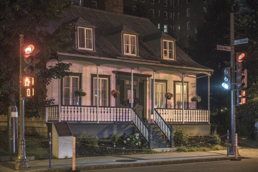
The Chemin Saint-Louis passes several significant heritage sites and markers in its passage from the Old City walls to the Sainte-Foy interior. The Maison Montcalm (not the residence associated with the general, but an 18th-century stone house in the Montcalm neighbourhood that preserves the domestic scale of the pre-suburban Western Plateau), the boundary markers of the former Seigneurie de Sillery (whose estate boundaries are partially preserved in the lot lines of the Sillery residential streets), and the monument marking the approximate location of the Battle of Sainte-Foy (at the Chemin Sainte-Foy intersection) together document the historic significance of a route that contemporary drivers traverse without awareness of the extraordinary historical events that occurred along its length.