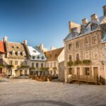
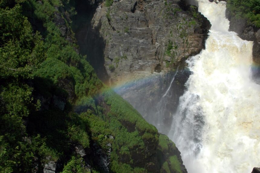
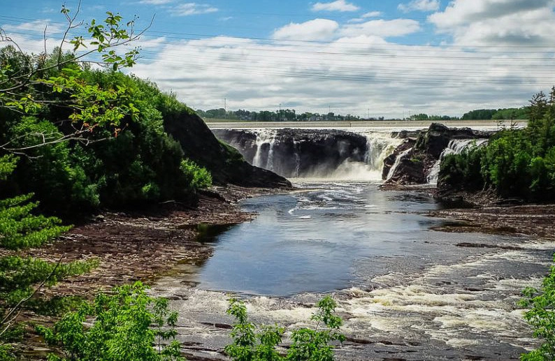
The intra-muros perimeter is 4.6 kilometres and a generation of visitors has walked it — several million stays a year now, concentrated on a few streets, as the visitor numbers make plain. Past the walls, the city offers substantially more interesting routes for anyone who has already done the Place Royale to Dufferin Terrace loop. What follows are six walks residents actually use, each between 3 and 9 kilometres, each reachable without a car, and each with its own character worth the outing.
The Saint-Charles River linear park
Known locally as the Corridor des Cheminots in its upstream section and the Parc linéaire de la Rivière Saint-Charles in its central portion, this 32-kilometre trail follows the river from the Domaine de Maizerets in the east to the Lac Saint-Charles reservoir in the west. The most rewarding 4-kilometre segment runs from the Marina Saint-Roch to the Parc Victoria, passing three fish ladders, a remediated industrial zone, and the distinctive pedestrian bridges designed by Atelier 21. The trail is paved, flat, and heavily used by cyclists, joggers, and dog walkers on weekend mornings.
The Cap-Blanc boulevard below the Citadelle
Boulevard Champlain runs the base of the cliff between the Vieux-Port and the Promenade Samuel-De Champlain, a 3.5-kilometre waterfront walk with the cliff on one side and the St. Lawrence on the other. The grade is flat, the views run from the Pont Pierre-Laporte east to the Île d’Orléans, and the path includes the section reclaimed from port infrastructure in 2008. In summer, public art installations and splash pads activate the central section. In winter, the same path becomes a quiet promenade with exceptional ice-floe views on cold February afternoons.
The Chemin Sainte-Foy and its green spine
The Chemin Sainte-Foy runs west from the walled city for 6 kilometres through Sillery and into Sainte-Foy proper. A walk of half that distance, from the Plains of Abraham to the Université Laval campus, traces the historic carriage road of the nineteenth-century English elite. Notable stops include Domaine Cataraqui, a restored mid-nineteenth-century estate with formal gardens and a well-regarded tea room, and the Domaine de Bergerville with its surviving orchard. The walk ends at the Université Laval metro loop for a return bus to downtown.
The Promenade des Écrivains in Limoilou
Across the Saint-Charles, Limoilou rewards the visitor who has spent a week in the old city and wants something different. A 3-kilometre loop beginning at the Parc Cartier-Brébeuf, where Jacques Cartier wintered in 1535-36, traces residential streets named after Québécois writers: Rue Nelligan, Rue Gérin-Lajoie, Rue Garneau. Rue de la Canardière adds a denser restaurant strip that includes Le Bureau de Poste and the excellent bistro Morena. This walk is as much about reading the city’s architectural vernacular of three-storey brick townhouses with their signature exterior staircases as about reaching any single destination along the way.
The Maizerets domain
The Domaine de Maizerets sits at the eastern extremity of the city, a 27-hectare former seminary farm with an arboretum of 200 species, formal gardens, and a heritage house dating to 1697. A 2.5-kilometre walking loop circles the site. The arboretum peaks in September; the tulip display in early May opens the season. Free admission year-round. Access by public transit via the 800 or 801 Métrobus, then a short five-minute walk north from the Boulevard Henri-Bourassa stop. The eastern tip of the site meets the Beauport coastline, and a dedicated pedestrian bridge connects to the Baie de Beauport swimming area in summer.
The boreal walk at Mont-Bélair
Thirty minutes west of the old city by car, Mont-Bélair’s summit trail climbs 250 metres over 4 kilometres to a 485-metre peak with a 360-degree view of the capital region. Unlike the Sépaq parks, this is municipal land, free of entry fees, and undergoing ongoing volunteer-led trail maintenance. Winter access is by snowshoe. Summer crowds remain manageable even in July. The descent is the same route in reverse, which is unusual in the region and keeps the loop simple for visitors unfamiliar with forest navigation. Bring water and a map.