Beauport Village ( the historic core of the Beauport arrondissement, centred on the Boulevard Sainte-Anne (Route 138) corridor around the Côte de Beauport where the original 1634 seigneurie’s institutional heritage (the parish church, the presbytery, and the commercial streets that served the agricultural community through three centuries of continuous occupation) survives in the middle of the contemporary suburban residential and commercial development that surrounds it ) is one of the finest and most undervisited heritage village cores accessible from Quebec City’s urban centre. The village’s position (approximately 12 kilometres east of the Old City via the Boulevard Sainte-Anne) and its embeddedness in the contemporary Beauport arrondissement’s suburban fabric make it invisible to visitors who don’t specifically seek it out; for those who do, it provides one of the most historically rich heritage walks in the greater region.
The Heritage Ensemble
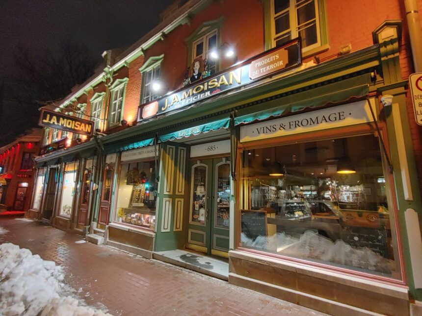
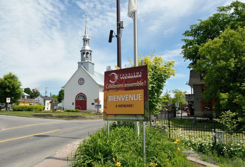
The Beauport Village heritage ensemble ( the cluster of heritage buildings around the intersection of the Boulevard Sainte-Anne and the Côte de Beauport ) includes: the Église Sainte-Famille de Beauport (the parish church whose current structure dates primarily to the 19th century but whose site has been occupied by successive religious buildings since the 1640s, making it one of the oldest continuously occupied parish sites in North America), the heritage presbytery (a 19th-century stone institutional building typical of the Quebec rural parish complex), and the commercial buildings of the village’s original main street that preserve the scale and character of the 19th-century village commercial strip. The concentration of heritage buildings is dense enough within a single block to constitute one of the finest surviving examples of the Quebec village heritage ensemble outside the Île d’Orléans heritage corridor.
The Giffard Seigneurie Context
Beauport Village’s heritage is inseparable from the Giffard seigneurie’s history (the 1634 land grant to Robert Giffard that established the first operational French seigneurie in New France) ( the village is the settlement centre that the seigneurie’s agricultural community created over the 200 years between the first farmhouses of the 1640s and the consolidation of the 19th-century village infrastructure. The land use pattern of the seigneurial strip farms ) visible in the lot patterns of the properties between the Boulevard Sainte-Anne and the St. Lawrence shore preserves the 17th-century cadastral geometry of the original seigneurie in a form that can be read from satellite imagery even though the original farmhouses have been replaced by 20th-century residential development. Walking the village’s heritage core with awareness of the seigneurial geography provides the most historically complete experience of New France’s agricultural settlement pattern accessible outside the Île d’Orléans.
The View from the Côte de Beauport
The Côte de Beauport ( the hillside road descending from the Boulevard Sainte-Anne plateau to the St. Lawrence shore below ) provides one of the finest views of the Île d’Orléans accessible from the Beauport arrondissement: the island visible across the narrow channel between the north shore and the island’s eastern end, the heritage farmhouses of the Île d’Orléans’s north shore visible as white dots against the island’s agricultural landscape, and the St. Lawrence’s tidal surface providing the foreground. The view is available from several points along the Côte de Beauport as it descends toward the shore; it is less celebrated than the Terrasse Dufferin or the Lévis ferry‘s view of Quebec City’s cliff face, but it provides a specifically Beauport perspective on the river landscape that the inner-city viewpoints cannot replicate the agricultural hinterland rather than the fortified capital as the foreground to the river’s panoramic sweep.