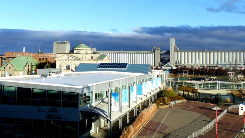
Cap-Blanc is the name given to the narrow strip of land at the base of the Cap Diamant cliff ( the zone between the cliff face and the St. Lawrence River that forms the lower boundary of the Vieux-Québec–Cap-Blanc–Colline Parlementaire quartier. The neighbourhood’s physical character is unique in Quebec City: compressed between a cliff rising 50-60 metres above and the river below, with the Boulevard Champlain (Route 136) and the rail corridor running along the narrow base, Cap-Blanc has the quality of a place that exists in the cliff’s shadow ) dramatic in its setting but limited in its scale and development possibilities.
The Cliff Face: Geological History
The cliff face of Cap Diamant at Cap-Blanc is composed of Ordovician limestone overlying older Precambrian basement rock ( geological formations that record the ancient seafloor of a tropical ocean that covered this region approximately 450 million years ago. The cliff’s erosional history is more recent: the post-glacial rebound of the land following the retreat of the Laurentide Ice Sheet (approximately 12,000-10,000 years ago) combined with the erosive action of the St. Lawrence River at the cliff base have produced the vertical face that makes Quebec City’s topography so distinctive. The cliff’s geological instability ) rockfalls occur periodically requires ongoing monitoring and stabilisation by the Ville de Québec’s engineering department.
The Funicular & the Breakneck Stairs
The two primary connections between Cap-Blanc and the Upper Town above ( the Funiculaire du Vieux-Québec (operating since 1879, rebuilt 1998, approximately one million passengers annually) and the Escalier Casse-Cou (the Breakneck Stairs, the oldest staircase in North America in continuous use) ) are the most visible infrastructure of the cliff-face zone. The funicular’s upper terminal on the Dufferin Terrace and lower terminal on the Rue du Petit-Champlain frame the visitor experience of the vertical transition between the two towns; the Breakneck Stairs provide the alternative for those who prefer their cliff-climbing without mechanical assistance. Both operate year-round, though the stairs require particular care in winter when ice forms on the wooden treads.
Promenade Samuel-de-Champlain Access
The Boulevard Champlain (Route 136) ( the primary road corridor at the base of the Cap-Blanc cliff ) connects the Old Port area westward to the Promenade Samuel-de-Champlain and the Sillery waterfront. The Promenade’s eastern end is accessible from Cap-Blanc via the Old Port; the cycling trail of the Corridor du Littoral connects Cap-Blanc eastward to the Beauport Shore. The debate about the future of the adjacent Autoroute Dufferin-Montmorency ( which the municipal council has asked the provincial government to convert to an urban boulevard as part of a Promenade Phase 4 project ) would, if realised, dramatically improve the waterfront connectivity of the Cap-Blanc zone and create new public space at the base of the cliff.