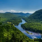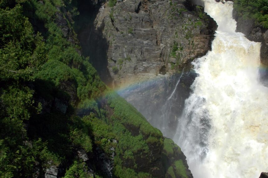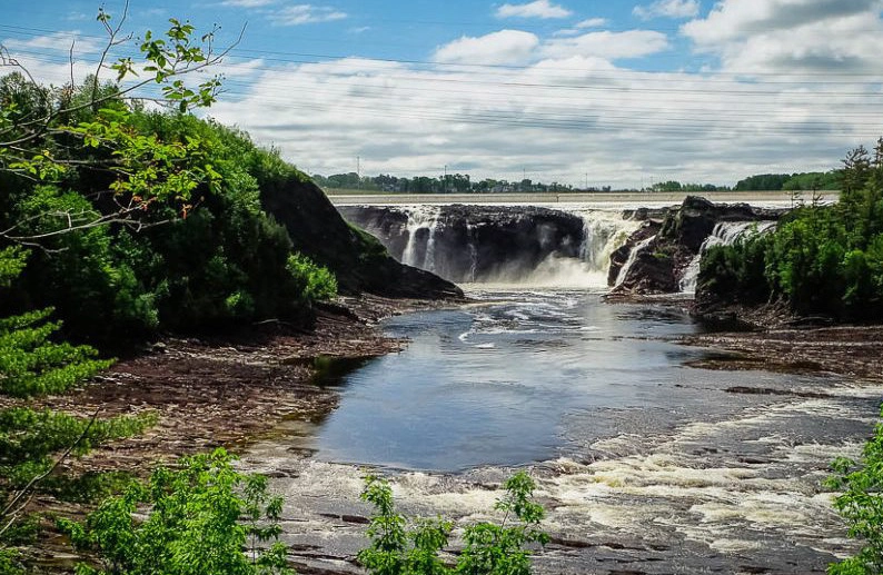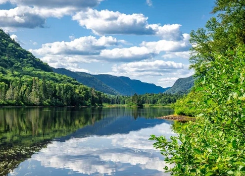
Parc national de la Jacques-Cartier is the closest serious wilderness to Québec City. The park entrance sits forty minutes from downtown along Route 175, the highway that climbs north through the Laurentian plateau toward Saguenay. The river that gives the park its name cut a glacial valley through the plateau at the end of the last ice age, and that valley, six hundred metres deep in places, is the reason people come.
What the park actually is
Jacques-Cartier is part of the Sépaq network, the Québec government agency that runs the province’s 23 national parks. Entry requires a day pass or a Sépaq annual membership. The welcome centre sits at kilometre 10 of the park road; beyond that, you drive another thirty kilometres along the valley floor with the river on one side and steep walls on the other.
The park is open year-round, though not every service runs in every season. Summer operations, roughly mid-May through mid-October, include canoe and kayak rentals, camping, guided hikes, and the full trail network. Winter operations, from mid-December through late March, cover snowshoeing, fat-biking on groomed surfaces, cross-country skiing on ungroomed routes, and backcountry yurts for overnight stays. A shoulder-season gap between these two windows shuts down most services; check the Sépaq site before you drive.
The valley’s best trails
Les Loups is the signature climb: eleven kilometres round trip, 485 metres of elevation, and a viewpoint at the top that looks straight down the valley for several kilometres. It takes four to five hours at a normal pace and is rated difficult by the park; the descent is harder on the knees than the ascent is on the lungs.
L’Éperon is the shorter version, about five kilometres and 200 metres of elevation, with a viewpoint roughly halfway up Les Loups’ payoff. For most visitors with half a day, L’Éperon delivers a better ratio of view to effort.
Le Scotora and Les Cascades, both short and nearly flat, follow the river and work well for families or for anyone not climbing the valley walls.
Water: summer’s main event
The Jacques-Cartier River runs clear, cold, and generally class I to class II in the park’s central section. Sépaq rents sit-on-top kayaks, canoes, and rafts from a beach near the welcome centre. The standard descent, about eight kilometres from Pont-Banc to the beach, takes two to three hours and includes a handful of small rapids and long flat stretches where the canyon walls rise on both sides.
Book rentals online in advance on summer weekends. Same-day walk-ups usually fail in July and August.
Winter in the valley
The park in winter is one of the quieter wilderness experiences within an hour of a Canadian provincial capital. Snowshoeing is the primary activity; a network of groomed trails follows the valley floor and several climb partway up the walls. Le Coureur-des-Bois, an 8.5-kilometre loop, crosses the river twice and gives a reasonable sample of the terrain in three hours.
Overnight yurts and chalets, heated with woodstoves and reachable by snowshoe or ski, book out months in advance for weekends between January and March. Weekday stays are easier.
Dress for real cold. The valley’s microclimate runs several degrees below downtown temperatures, and wind along the river sharpens the chill.
Fees, access, and logistics
A day pass costs $10.30 per adult and the annual card costs $93, covering all 23 national parks, including Les Grands Jardins and Hautes-Gorges in Charlevoix. Nine day passes cost $92.70, so the card pays for itself on the tenth park visit of the year. Children under eighteen enter free. Whether the card is worth it for your year comes down to how many park days you actually expect.
There is no public transit to the park. A car is required. The drive from downtown Québec City follows Boulevard Laurentien to Autoroute 73 north, then continues on Route 175. In winter, the last twenty kilometres can be snow-covered; a vehicle with proper winter tires is non-negotiable, and chains are occasionally required on the steepest pitches.
Cell coverage inside the valley is unreliable. Tell someone where you are going if you plan to hike alone.
Combining the park with other stops
The park works well as a day trip on its own. If you want to combine it with other destinations, the village of Stoneham, fifteen minutes south on Route 175, has a ski resort in winter and a handful of restaurants. Wendake, home of the Huron-Wendat Nation and the Onhwa’ Lumina night walk, sits twenty minutes further south and is worth an evening on the way back.
The park rewards a full day. Half-day visits can be done but leave the sense of having seen a preview rather than the thing itself.
What to bring
Waterproof hiking boots in shoulder season. Ice traction devices, layers, and a thermos in winter. Bug spray from late June through early August; the park’s black flies and mosquitoes are unserious in most of Québec but serious here. A paper trail map from the welcome centre rather than a phone, which may lose signal in the valley. Water, and more of it than you think you need.
Leave no trace. The park’s wildlife (black bears, moose, lynx, the occasional wolf) generally keeps away from humans, but food and garbage draw bears to campsites every summer. Store food properly if you are staying overnight.