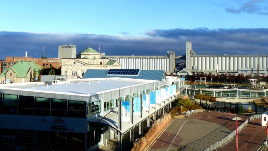
Quebec City’s hydrological reality ( the interaction of the tidal St. Lawrence River (with its 5-6 metre tidal range at the city’s location), the seasonal flooding of the Saint-Charles River alluvial plain, the dramatic spring ice breakup on both river systems, and the groundwater dynamics of the Cap Diamant’s geological structure ) has shaped the city’s infrastructure, its settlement patterns, its engineering challenges, and its cultural calendar in ways that few urban residents consciously recognise but that define the lived experience of the city’s physical environment. Understanding Quebec City’s hydrology provides a framework for understanding why the city is built as it is, why certain neighbourhoods flood while others do not, and why the river’s seasonal cycle still structures Quebec City’s cultural life despite the insulating effects of modern infrastructure.
The Tidal St. Lawrence
The St. Lawrence River at Quebec City is tidal ( the city sits at the approximate limit of significant tidal influence on the river’s flow regime, where the 5-6 metre tidal range of the Gulf of St. Lawrence still manifests in daily water level fluctuations visible from the waterfront. The tidal cycle at Quebec City is semi-diurnal (two high tides and two low tides per day), with the high tide approximately 6 hours after the low tide and water level changes of 4-6 metres between the two extremes depending on the lunar phase and the prevailing weather. The tidal current in the St. Lawrence channel at Quebec City reaches 2-3 knots during strong tide events ) sufficient to affect the navigation of small craft and the operation of the Quebec City-Lévis ferry, which must adjust its route to account for the current’s lateral push on the crossing. The tidal alternation between fresh water (from the river’s upstream flow) and salt water (from the incoming Atlantic tide) creates the estuarine ecology that makes the Quebec City area’s aquatic environment among the most biologically productive on the eastern seaboard.
Spring Flooding: The Annual Crisis
The Saint-Charles River’s annual spring flooding ( the result of snowmelt from the Charlesbourg and Wendake highlands overwhelming the river’s drainage capacity during April warm periods ) is the most consequential hydrological event in Quebec City’s urban calendar. The 2019 flood, the most severe in recent decades, inundated hundreds of homes and basements in the Lairet and Vieux-Limoilou quartiers and mobilised the full municipal emergency response infrastructure. The physical mechanism: the Saint-Charles, a relatively small river (48 km long, draining 460 km² of watershed), receives the entire snowmelt of its Laurentian plateau watershed within a few weeks each spring; when the frozen ground prevents infiltration of the meltwater (as it does in early spring), the entire snowpack drains as surface runoff into the river simultaneously, producing flood peaks that overwhelm the city’s dyke and pumping infrastructure along the lower river’s floodplain.
The Ice Bridge: A Cultural Memory
The ice bridge that formed each winter across the St. Lawrence between Quebec City and Lévis ( lasting typically 6-8 weeks in the era before the bridges (pre-1917 for the Quebec Bridge, pre-1970 for the Pierre-Laporte Bridge) ) was simultaneously a practical transportation connection (horse-drawn sleighs and eventually early automobiles crossing on the ice surface) and a cultural phenomenon of extraordinary symbolic weight: the frozen river as the tangible expression of the Quebec winter, the ice as the medium through which the two shores were connected rather than separated. The Carnaval’s ice canoe race ( in which teams paddle and drag canoes across the partially frozen St. Lawrence, navigating ice pans and open water ) is the direct descendant of the practical winter river crossing skill that habitants developed over centuries of ice travel, now preserved as ceremony and athletic competition rather than necessity.