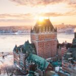
Québec City exists because of the St. Lawrence narrows. Samuel de Champlain chose the site in 1608 because the river pinched to roughly one kilometre between the Cap Diamant cliffs and the Lévis shore, creating a chokepoint that controlled movement between the Atlantic and the North American interior. Kébec, the Algonquin word for “where the river narrows,” gave the city its name. Three other rivers further shape the urban geography: the Saint-Charles, the Montmorency, and the Cap-Rouge. Each carries its own history, hydrology, and present-day role in how the city functions.
Seasonal character
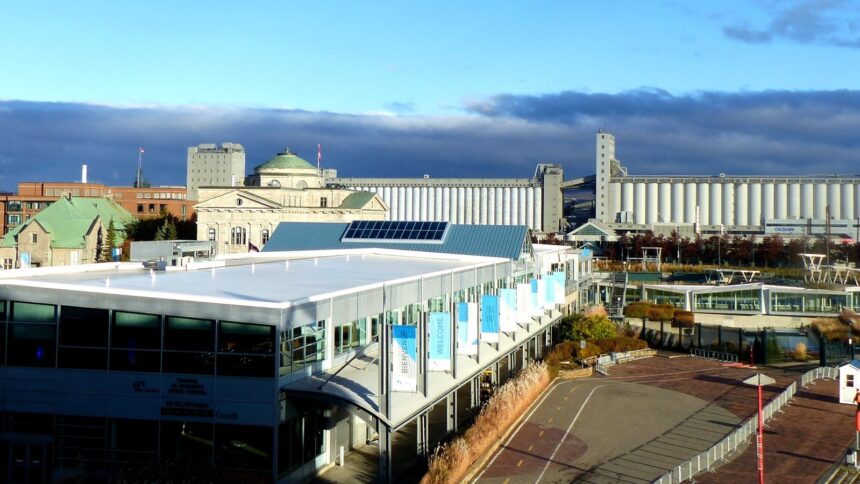
The St. Lawrence at the narrows is approximately 30 metres deep, sufficient for the largest ocean-going container vessels. Upriver, the channel becomes significantly shallower, making Québec City the de facto inland gateway to the continental interior before the St. Lawrence Seaway upgrades of the 1950s allowed deeper-draft ships to continue toward Montréal and the Great Lakes. The Port of Québec still handles roughly 30 million tonnes annually, dominated by liquid bulk and grain. The river also carries the largest cruise ship traffic east of the Caribbean, with a hundred port calls a typical season.
The Saint-Charles is the city’s other defining waterway. Sixty-four kilometres long from its source at Lac Saint-Charles to its confluence with the St. Lawrence near the Old Port, the river was for centuries the industrial backbone of the lower town. Tanneries, breweries, and pulp mills lined its banks from the 1820s to the 1970s, contaminating the water and burying the river under concrete in several sections. The Renaturalisation de la rivière Saint-Charles project, launched in 1999, removed roughly four kilometres of concrete embankments and restored a continuous riverside park from the falls of Lairet to the mouth.
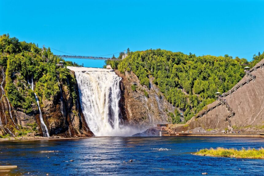
The Montmorency, twelve kilometres east of the Old Port, is best known for its waterfall, which at 83 metres is taller than Niagara Falls although less voluminous. The Parc de la Chute-Montmorency operates a cable car, a suspension bridge across the gorge, and a wooden staircase of 487 steps from the base to the top. The river itself drains a 1,140-square-kilometre watershed in the southern Laurentians and is a popular fly-fishing river for landlocked salmon between the falls and the Lac des Neiges headwaters, with permits issued by the SEPAQ.
History and origins
The Cap-Rouge, sometimes called the river of the lost, is a smaller waterway that drains the western Sainte-Foy plateau into the St. Lawrence at the village of Cap-Rouge. Its small valley contains the Cartier-Roberval site, where Jacques Cartier and Jean-François de la Rocque de Roberval established a short-lived French settlement in 1541, more than sixty years before Champlain’s Québec. The site was excavated between 2005 and 2008 and is now an interpretive park managed by Parks Canada.
For visitors, the most accessible riverside walks are along the Promenade Samuel-De Champlain, which follows the St. Lawrence from the Côte-de-Sillery to the Anse-au-Foulon over roughly 2.5 kilometres of landscaped waterfront. The Linear Park along the lower Saint-Charles offers a quieter, mostly residential 8-kilometre route from the mouth at Estuaire to the Domaine Maizerets in Limoilou. The Parcours des Anses on the Lévis shore provides the most photographed perspectives back across to the Château Frontenac and the Plains of Abraham cliffs.
Events and programming
The watersheds of all four rivers face common pressures from urban runoff, road salt, and agricultural runoff in the upper basins. The Conseil de bassin de la rivière Saint-Charles produces an annual water-quality report that has shown steady improvement since the renaturalisation work but persistent issues with bacteriological contamination after major rain events. The Montmorency and Cap-Rouge are similarly monitored by their respective watershed organizations, all reporting publicly through the Robvq provincial network.
Beyond their practical roles, the rivers shape how Québec City residents experience their seasons. The St. Lawrence rarely freezes solid at the narrows because of the strong tidal currents, but the ice canoe race during Carnaval still crosses through pack ice between Québec and Lévis each February. The tidal regime behind those currents is unusual enough to deserve its own explanation. The Saint-Charles freezes more reliably and supports a small skating community on its lower stretches. The Montmorency falls produce the famous pain de sucre, a cone of frozen spray at the base that climbers ascend on weekends throughout January and February.