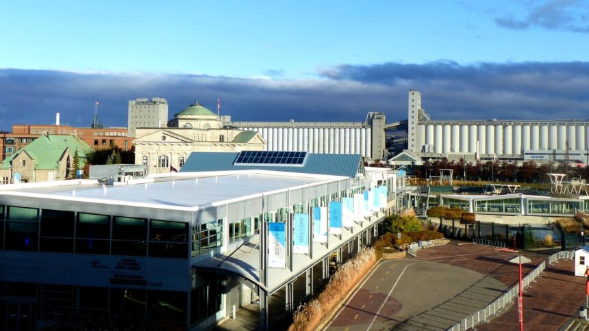
The south shore of the St. Lawrence River directly across from Quebec City (the territory of the City of Lévis and the adjacent municipality of Saint-Nicolas) provides a completely different perspective on the capital than anything available from within Quebec City’s administrative boundaries. The combination of the Terrasse de Lévis viewpoint (the finest ground-level external view of Quebec City), the cycling trail network of the Rive-Sud (the south shore’s equivalent of the Corridor du Littoral), the heritage resources of the Maison Alphonse-Desjardins in Lévis, and the Forts de Lévis national historic site creates a south shore day-trip of genuine cultural and recreational interest that most Quebec City visitors overlook in favour of staying within the heritage core.
Lévis: Beyond the Ferry Terminal
Most visitors to Lévis experience only the immediate vicinity of the ferry terminal (the Terrasse de Lévis viewpoint (immediately above the ferry dock, providing the famous exterior view of Quebec City’s cliff face) and perhaps the Rue Saint-Joseph commercial strip adjacent to the Old Town. But Lévis’s heritage and recreational resources extend significantly beyond this first impression: the Vieux-Lévis historic district (on the heights above the terminal, with heritage commercial buildings from the 19th-century timber trade era), the Forts de Lévis national historic site (three British forts built 1865-1872 on a promontory east of the ferry terminal, providing the most complete surviving example of 19th-century British colonial defensive architecture in the Quebec City region), and the Maison Alphonse-Desjardins (where the first Caisse populaire meeting was held in 1900, now operated as a National Historic Site with free admission and interpretation of the cooperative financial movement that Desjardins founded).
The South Shore Cycling Network
The Rive-Sud cycling network) the Route Verte trails on the south shore of the St. Lawrence (provides cycling opportunities that complement the Quebec City north shore trails with different terrain and perspectives. The Parcours des Anses cycling trail (following the south shore cliff and waterfront from Lévis toward Saint-Nicolas) provides continuous St. Lawrence river views looking northward toward Quebec City) the Château Frontenac visible on the cliff edge, the two bridges prominent against the river’s surface, and the Île d’Orléans in the middle distance creating the full panoramic composition from the reverse angle. The trail is accessible from the Lévis ferry terminal without a car (cycling across on the ferry (cycling is accommodated on the Quebec-Lévis ferry) and joining the south shore trail network for a 15-30 km round trip provides one of the most scenic cycling experiences in the greater Quebec City region.
Saint-Nicolas & the Chaudière
Saint-Nicolas) the municipality south of Lévis where the Chaudière River enters the St. Lawrence (provides the departure point for exploring the Chaudière-Appalaches region’s natural heritage: the Chute de la Chaudière (the falls where the Chaudière River’s flood-stage water plunges into the St. Lawrence in a spectacular cascade visible from the south shore bridge approach) and the cycling and hiking trails of the Rivière Chaudière corridor provide outdoor recreation of high quality within 15-20 minutes of the Quebec Bridge’s south shore terminus. The Beauce region) the entrepreneurial heartland of Quebec, famous for its economic dynamism and the resilience of its population in the face of the periodic Chaudière River flooding, begins at Saint-Joseph-de-Beauce approximately 45 minutes south of Quebec City on the Autoroute 73 (Robert-Cliche), providing the most accessible day-trip into Quebec’s rural interior from the capital.